
TRAINING: Building geospatial modelling capacity for public health in East Africa
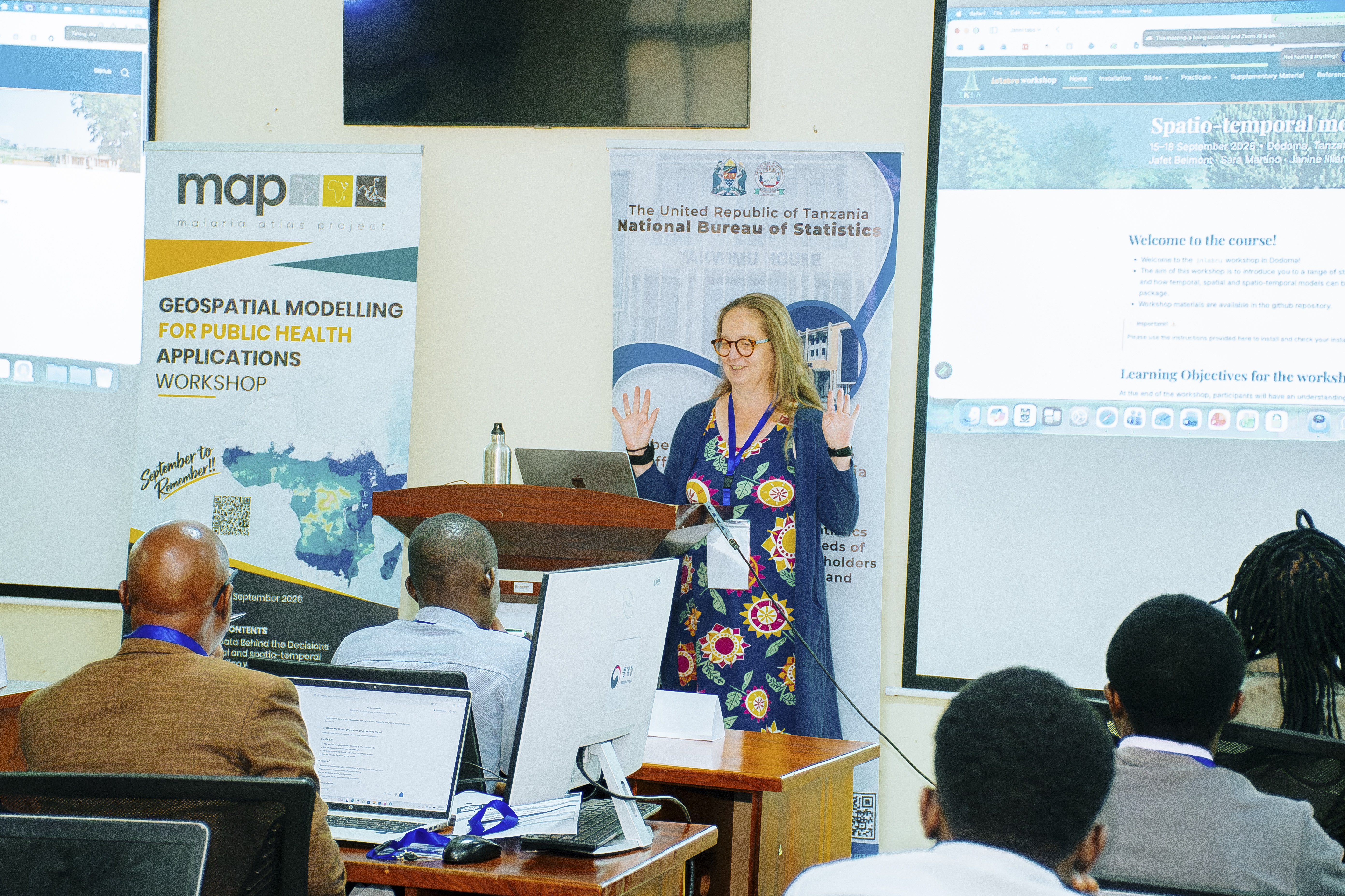
From 15 to 18 September 2026, the Ifakara Health Institute’s Malaria Atlas Project (MAP), in partnership with the National Bureau of Statistics (NBS), held the third cohort of the Geospatial Modelling for Public Health Applications Workshop in Dodoma.
The four-day training brought together participants from across East Africa for hands-on training in Spatial and Spatio-temporal Modelling using INLAbru. The training was led by Prof. Janine Illian of the University of Glasgow.
The workshop was part of MAP’s “September to Remember” training series, which supports researchers and public health professionals to strengthen their skills in geospatial analysis and modelling.
Bringing data, modelling closer to public health decisions
The programme also featured two special seminars that connected technical modelling skills with the use of data in decision-making.
Dr. Amina Msengwa, Statistician General at the National Bureau of Statistics, delivered a session titled “The Data Behind the Decisions.” The session highlighted the role of data in supporting policy, planning and public health decisions.
Dr. Tim Lucas, Lecturer in Biostatistics at the University of Leicester, delivered a second seminar titled “Spatial Disaggregation in R.” Participants gained additional practical skills in working with spatially disaggregated data using R application.
Together, the sessions gave participants an opportunity to strengthen their technical knowledge while exploring how geospatial data and statistical modelling can contribute to public health research and decision-making.
Building geospatial expertise across the region
The training reflects MAP’s continued efforts to strengthen geospatial and statistical modelling capacity for public health research and applications across Tanzania and East Africa. Ifakara appreciates the National Bureau of Statistics for hosting the training and the visiting instructors and MAP Dar facilitators for their expertise and dedication throughout the programme.
The Institute also thanks all participants for their energy, curiosity and commitment to strengthening geospatial capacity across the region.
The Geospatial Modelling for Public Health Applications Workshop is held annually, with the next cohort expected in 2027.